|
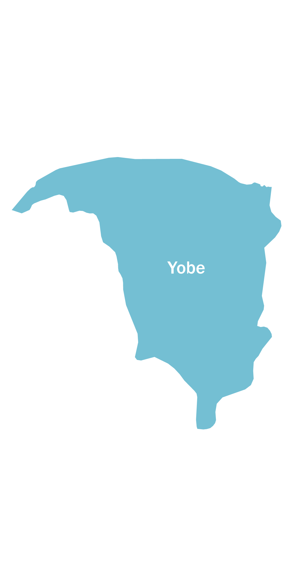
Yobe state is located in the North East of Nigeria and was carved out of Borno State on August 27, 1991 with Damaturu as its capital. The State is bordered to the North by Diffa and the Zinder Region in the Republic of Niger, to the South by Gombe State, to the east by Borno State and to the West by Bauchi and Jigawa States. The State covers an area of 45,502 sq.km and is ranked 6th out of 36 states of Nigeria and has a population of 2,757,322. The State has 3 senatorial districts, 178 wards, 86 political districts and 17 Local Government Areas (LGAs): Bade, Bursari, Damaturu, Fika, Fune, Geidam, Gujba, Gulani, Jakusko, Karasuwa, Machina, Nangere, Nguru, Potiskum, Tarmuwa, Yunusari and Yusufari.
Yobe state has a high maternal mortality ratio (MMR) that is estimated at 1,549 deaths per 100,000 live births. Mothers die frequently from complications of pregnancy and childbirth: anemia, obstetric hemorrhage, shock, sepsis and toxemias’. Other reasons for the high maternal mortality in the State include low ANC coverage, which stands at 36% (NDHS 2008) and delivery by health professionals and facility based delivery rates is 10% (NDHS 2013) respectively.
The health infrastructure is composed of 528 registered public and private health facilities with 320 offering routine immunization. There are Primary Health Care Centres (PHCs) in all the LGAs. The traditional leadership structure is composed of 14 Emirate Councils, 105 District Heads and about 520 Village Heads. Traditional leaders and religious leaders (Christianity and Islam) are held in high esteem in the communities and their statements are taken with respect and acceptance by the population. Yobe is inhabited by the following major tribes Kanuri, Hausa/Fulani, Karai-Karai, Bade, Ngizim, Bolewa and Ngamo and the major livelihood is agriculture, fishing and nomadic pastoralism.
The State covers an area of 45,502 square kilometers, representing about 5% of the landmass of Nigeria. The total fertility rate is about 7.5% children per woman of childbearing age; although the population is predominantly rural (70%), the distribution in terms of sex is almost equal between male (49.7%) and female (49.3%). This pattern of population distribution is same across various constituencies in the State between urban and rural areas. In terms of age distribution, the 2002 CWIQ Survey indicates that 48% of the population was made up of young people below the age of 15 while 52% are aged 15 and above. This survey reveals a dependency ratio of almost 1:1 meaning that there is almost 1 dependent to every economically active person in the population.
|
 Notification 2


