Notification 2
| Population | 6,113,503 |
| Infant Mortality rate) | 66% |
| Under 5 Mortality rate | 13.5% |
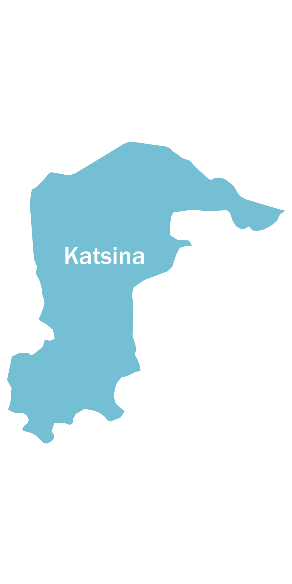
Katsina
Katsina State is located in the Sahel Savannah in northwest Nigeria. It has a total population of nearly 6 million. Each ward has at least one functional primary health facility and the state has seen great improvement in some health indicators: delivery by skill birth attendant has risen from 5.1% in 2008 to 20.8% in 2017. However, antenatal attendance stands at 33.40% and immunisation coverage is 6%. The unmet need for child spacing is 29.5%. (MICs 2016/2017)

KT012018
Katsina: January, 2018
KT022018
Katsina: February, 2018
KT032018
Katsina: March, 2018
KT042018
Katsina: April, 2018
KT052018
Katsina: May, 2018
KT062018
Katsina: June, 2018")
KT072018
Katsina: July, 2018
KT072018
Katsina: August, 2018
KT092018
Katsina: September, 2018
KT102018
Katsina: October, 2018
KT112018
Katsina: November, 2018
KT122018
Katsina: December, 2018